Travelers can see occupancy levels of Bucharest buses, trams in the Google Maps app


A new feature in the Google Maps application allows Bucharest residents and tourists to see the occupancy level of STB public transport vehicles in real-time, such as buses, trams, and trolleybuses.
The announcement was made by the mayor of Bucharest, Nicusor Dan.
“Starting today, travelers can see in real-time, in the Google Maps application, the occupancy level of public transport vehicles. This allows them to find out in advance how crowded the transport that is about to arrive at the station is,” he said in a post on Facebook.
The feature is made possible by passenger counters fitted to each new STB vehicle. These transmit, through the onboard computer, to the TPBI server the number of people in the vehicle, enabling the calculation of the occupancy level, which is then transmitted to Google Maps.
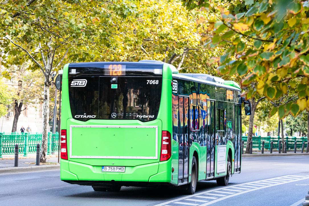
The function is available on Imperio trams, Solaris trolleybuses, electric buses, Mercedes Hybrid buses, and Otokar buses, according to mayor Dan.
In addition to the occupancy level, the position of the vehicle and the waiting times are also indicated.
“We are the only city in Romania with this function available,” Nicusor Dan said.
radu@romania-insider.com
(Photo source: Vlad Ispas/Dreamstime.com)