New interactive map helps Ukrainian citizens choose the best transit routes in Romania


A recently launched interactive map helps Ukrainian citizens who want to transit Romania plan their journey to other countries like Hungary, Serbia or Bulgaria. The interactive GIS (geospatial) app shows the transit corridors in Romania and is available in Romanian, English, and Ukrainian.
“Through this application, refugees who want to transit Romania can choose the most efficient routes,” transport minister Sorin Grindeanu said on Facebook.
In addition to the road and rail transit corridors, the map also offers information on border crossing points, international airports, gas stations and service spaces on motorways, parking lots, or railway stations. It can be accessed here.
The app was developed by the Center for Road Technical Studies and Informatics (CESTRIN), under the coordination of the Ministry of Transport, in collaboration with the National Center for Coordination and Management of Intervention and the General Inspectorate of Romanian Police.
irina.marica@romania-insider.com
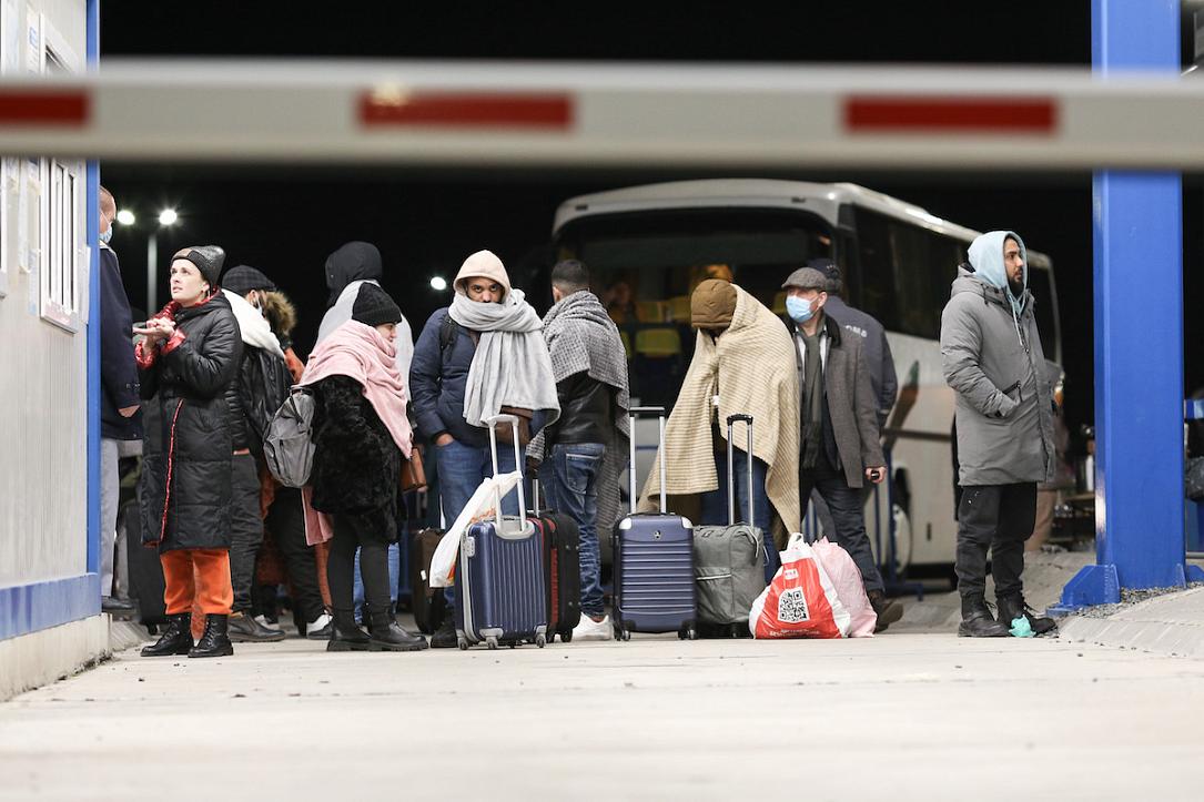
(Photo source: Inquam Photos/Sabin Cirstoveanu)