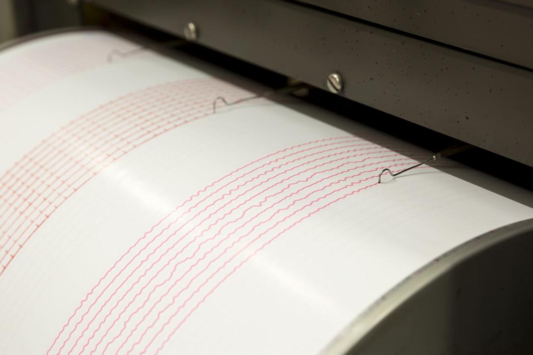
Monitoring stations placed in Romania’s Gorj county after recent earthquakes


Three seismic stations and five GPS devices have been installed in the towns of Leleşti, Runcu, Peştisani, and Bâltişoara, following several medium-intensity earthquakes that started in Gorj county this week, to investigate and monitor the seismic activity in the area.
Two earthquakes, of magnitude 5.7 and 5.2, shook Romania early this week. They both started in Gorj and were followed by hundreds of aftershocks.
“Following recent seismic events in the Gorj, Oltenia seismic zone, the National Institute for Research and Development in Physics of the Earth (INCDFP) sent specialists to install 3 seismic stations and 5 GPS stations in the area for analysis in order to investigate the process of earthquakes and their effects. The new seismic stations can record small magnitude earthquakes and damage estimates can be made based on the data they register, while the GPS stations will record crustal deformations,” the institute wrote in a Facebook post cited by G4Media.
These seismic stations complement the five existing stations in the area, located in the towns of Gura Zlata, Lotru, Petroşani, Târgu Jiu, Herculane, and Strehaia.
The data gathered by INCDFP showed that the February 14 earthquake produced over 315 aftershocks on the night from Wednesday to Thursday, with five of them exceeding 3 on the Richter scale. The largest aftershock occurred on Thursday at 3:07 AM at a depth of 10.8 km and had a magnitude of 4.2 ML, with an epicentral macroseismic intensity of IV.
The February 14 earthquake in Gorj county, with a magnitude of 5.7, was the largest ever recorded in the area. A smaller earthquake, of 5.2, took place on February 13 in the same area. Fifteen earthquakes with magnitudes ranging from 2 to 4.2 were recorded in Gorj on Thursday, February 16, according to the INCDFP website. One earthquake, with a magnitude of 2.9 on the Richter scale, has been recorded so on Friday, February 17.
According to INCDFP, the area where these earthquakes occurred is known for weak to moderate seismic activity, with events above magnitude 5 being very rare. The last estimated earthquake with a magnitude of 5.2 occurred in 1943 at a depth of 9.9 km.
(Photo source: Belish | Dreamstime.com)